PMGSY-III · Infrastructure Planning
Rural Road Connectivity Programme
[ADD PROJECT INFORMATION] — this page is a reusable template. Replace the category, title, location and scope details with the specific project's information before publishing.
Overview
A brief, factual overview of the project's purpose and context goes here. [ADD PROJECT INFORMATION]
Scope
- Survey and site data collection [ADD]
- Technical design and documentation [ADD]
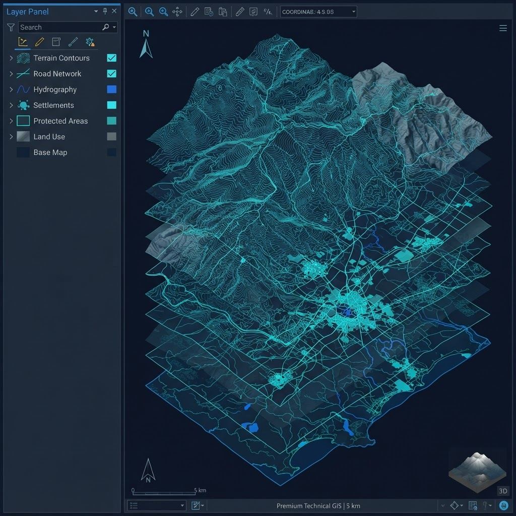
- GIS data integration [ADD]
Technical Services
- Civil engineering design consultancy
- CAD documentation and drawing preparation
- Technical review and quality checks
GIS / Mapping — Supporting
- Base map and terrain data preparation
- Spatial database structuring [ADD]
Engineering
- Alignment and design consultancy
- Technical specifications [ADD]
Deliverables
- Technical drawings and documentation
- GIS datasets and maps
- Project reports [ADD]
Gallery

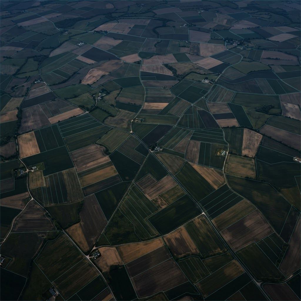

[ADD PROJECT IMAGES] — placeholder photography shown; replace with this project's actual site images.