What We Do
Core engineering & design, supported by geospatial technology.
CE Consultants is primarily a Civil Engineering, Architecture and Infrastructure consultancy. GIS, CAD, survey and remote sensing are supporting capabilities that strengthen those engineering decisions.
Core Engineering & Design
The primary disciplines that define CE Consultants — civil engineering, architecture and infrastructure planning.
Civil Engineering
Structural and infrastructure engineering for roads, buildings and public works.
- Civil infrastructure planning
- Road and transportation planning
- Site development
- Infrastructure design
- Quantity / technical documentation
- Engineering drawings
- Project planning
- Construction-related consultancy

Architecture
Design consultancy balancing function, form and buildability.
- Architectural planning
- Concept development
- Building planning
- Site planning
- Layout planning
- Architectural drawings
- Design coordination

Infrastructure Planning
Planning consultancy for road, rural and utility infrastructure, including PMGSY-III and PMGSY-IV support.
- Road infrastructure
- Rural infrastructure
- Utility infrastructure
- Site development
- Spatial planning
- Infrastructure mapping

Geospatial & Technical Services
Supporting capabilities that feed accurate data and documentation into our core engineering and design work.
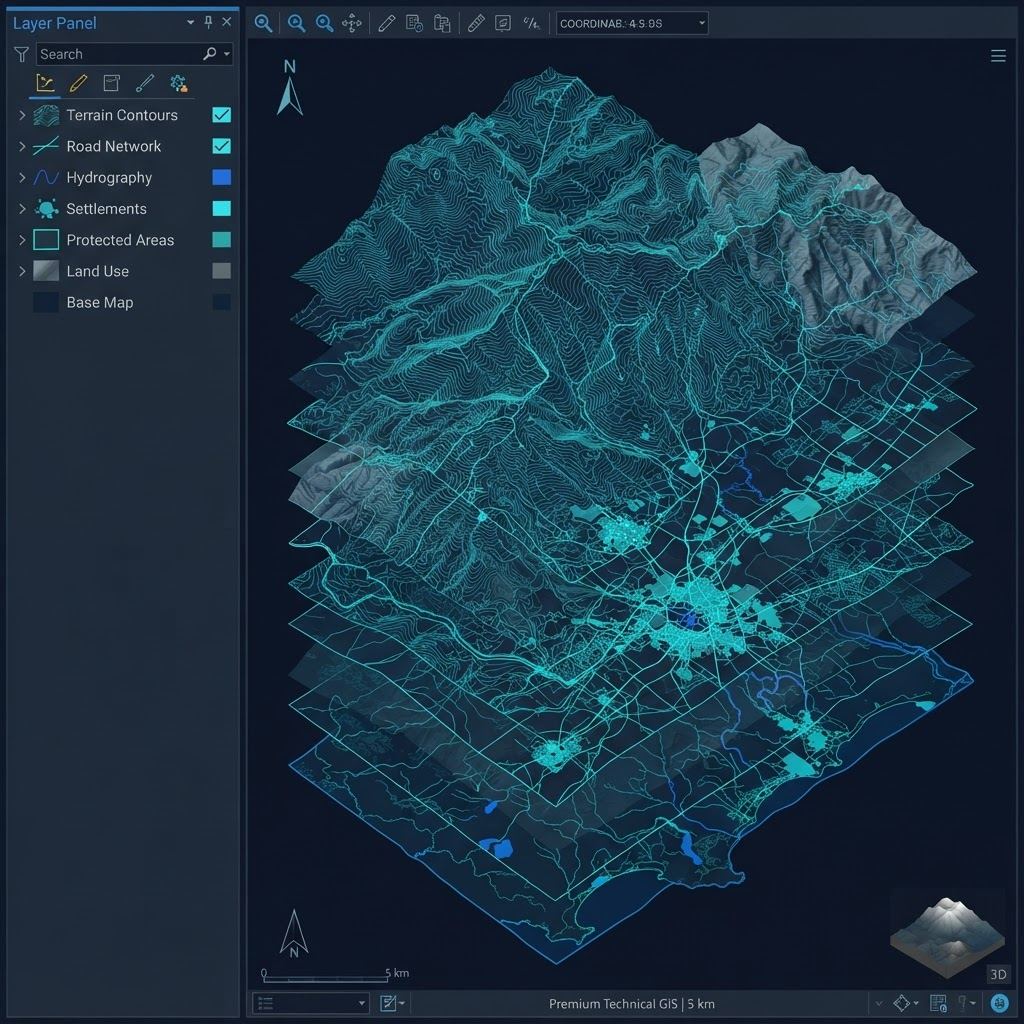
GIS & Mapping
Geographic information systems for spatial analysis and planning support.
- GIS mapping
- Spatial analysis
- Geodatabase management
- Thematic mapping
- Web mapping
- Spatial data management
CAD & Drafting
Precision drafting and documentation for engineering and architectural work.
- AutoCAD
- Civil 3D
- Engineering drafting
- Plan preparation
- Infrastructure drawings
- CAD-to-GIS workflows
Survey & Remote Sensing
Ground and remote data collection feeding accurate, engineering-grade datasets.
- DGPS
- Total Station
- Drone survey
- Remote sensing
- Image processing
- Terrain analysis